Development and mining

Development and Mining

Development and mining is for companies moving from resource definition into mine planning and production. ALS helps teams bring together geological, assay, scanning and downhole data into connected workflows that support ore domain definition, predictive geometallurgy and more confident decisions across planning, processing and operations. 


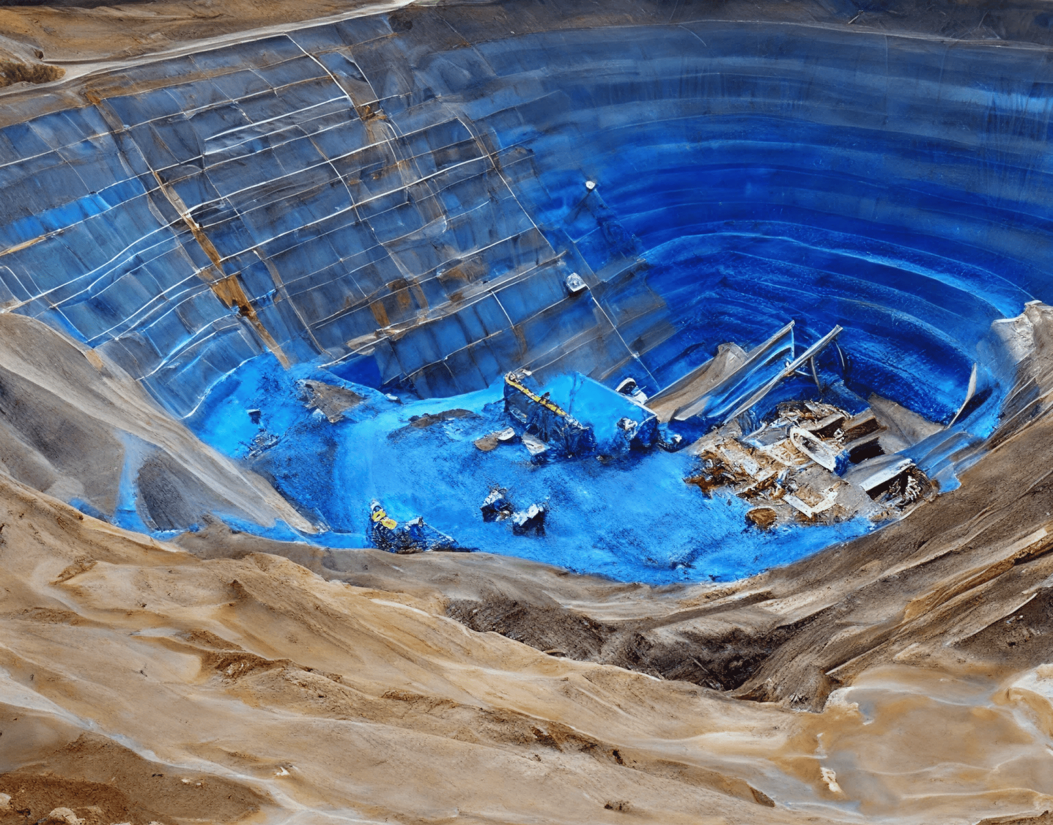
Aerial view of an open-pit mine with terraced benches and haul roads

Predictive Geometallurgy 

A data-driven approach to metallurgical identification
A machine learning approach that consolidates geochemical, metallurgical, and mineralogical data to increase metallurgical data coverage at lower cost and with quicker turnaround time. Increasing data coverage enables companies to make accurate decisions more quickly and derisk their projects, making them more attractive to their stakeholders. Ideal for companies in the pre-feasibility and feasibility study phases, dealing with limited budgets, tighter deadlines, and complex ore bodies, as they move toward permitting and detailed process plant and tailings facility designs.  

Benefits
  • Increased data coverage to identify the metallurgical characteristics of the available resource
  • Faster turnaround time to identify the ore and gangue material: 
    • Faster turnaround time can enable companies to derisk their project more quickly and efficiently
    • Derisked projects can be perceived more positively by stakeholders for investment and permitting purposes
  • More affordable way of generating data for analysis
  • Strengthen confidence in recovery modelling and process plant and tailings management designs
Specialist Consulting Services

  1. Metallurgical sampling guidance

    Design sampling programs that capture the variability that matters most across the orebody. This helps teams generate better data for geometallurgical modelling and reduce the risk of under-sampling critical domains. 

  2. Downhole data domaining

    Use structured downhole datasets to define geological or ore domains more consistently, improving interpretation and creating stronger inputs for mine planning and geometallurgical models. 

  3. Semi-automated core logging

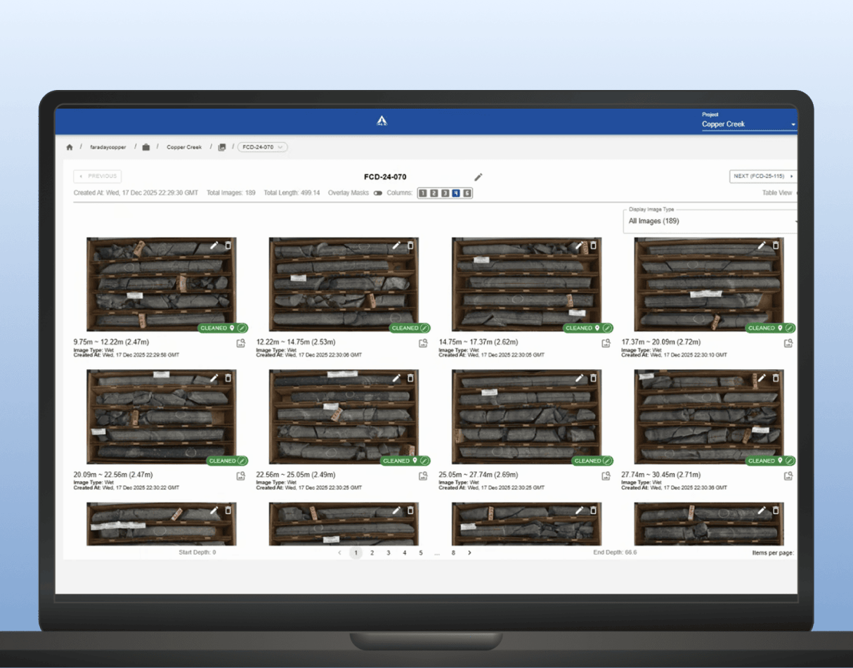
    Support high-volume core logging workflows with AI-assisted tools that improve consistency and help geological teams extract more usable information from core more efficiently. 

  4. Core scanning data integration

    Combine core scanning outputs with logging, assay and geological data to create a more complete and connected understanding of ore characteristics and domain behaviour.  

Core Intelligence for Development and mining

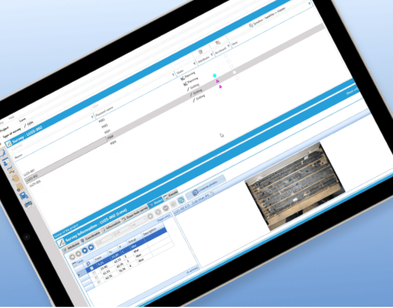
At Development and mining stage, Core Intelligence brings together core scanning, assay results and geological logs so that every metre of core contributes to a more complete geological model. By integrating these datasets, including automated core photo analysis through LithoLens™, ALS helps teams strengthen orebody knowledge, support mine planning and improve decisions related to processing and future development. 

  • Bring core, assay and scanning data into one workflow 
  • Improve orebody understanding for planning and processing 
  • Support more consistent geological and geometallurgical models 
 
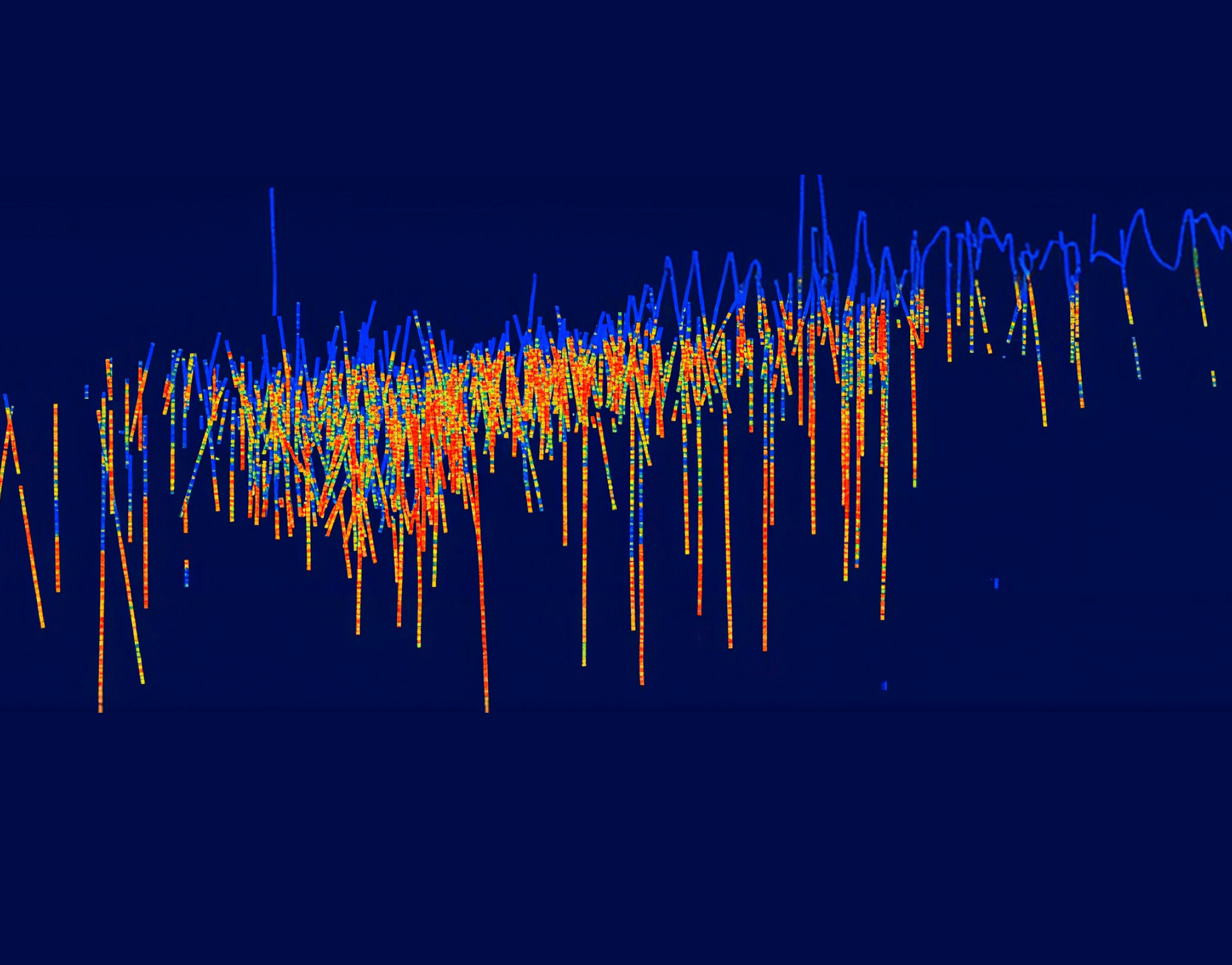
3D geological block model showing subsurface mineral zones in orange and blue

Related resources