





























Hyperspectral imaging & processing

High throughput hyperspectral imaging

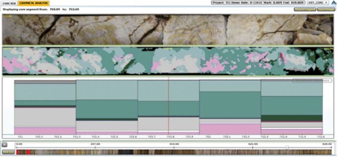
The TerraCore Core Imaging Spectrometer™ (CIS™) can scan up to 1500 meters of core per day, keeping pace with most drilling programs. Interpretation of spectra is semi-automated when project geology is identified, allowing fast turnaround on results relevant to your exploration or resource project. Completed mineral maps and abundance data are uploaded to ALS CoreViewer™, allowing online examination of core photography and hyperspectral mineralogy at site, head office, or anywhere your geologists might be located via secure web- based distribution.
TerraCore Core

Continuous mineral maps

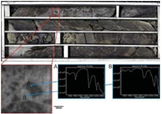
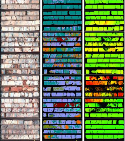
The CIS™ is a continuous hyperspectral core scanner that generates mineral maps at 1mm spatial resolution. Each pixel contains the full spectral signature from the VNIR (380-1300nm), SWIR (1300-2500nm) and LWIR (7500-12000nm) with a 5nm spectral resolution.

This enables the identification of fine-grained alteration minerals that are often not distinguishable by eye, as well as changes in composition within a single mineral type. This can be important in the clay minerals, where composition adds more information to mineral assemblages than presence or absence alone.

Access to results via CoreViewer™

All data that can be displayed in CoreViewer™ is archived in perpetuity, guaranteeing digital access to core that may be stored on site. Access to the CoreViewer™ archives is free to ALS clients via Webtrieve™.

Frequently asked questions

Downloads

pdf

ALS Hyperspectral Testing

Related resources