














ALS Solutions provides you with online access to your sample and analytical information from anywhere.
LoginRetrieve results and track sample progress in real time with access to featured digital products such as CoreViewer™ and ALS QCPro™.
Login

This convenient application lets customers closely track oil analysis reports in process in real time.
LoginSmartSuite is an advanced machine learning platform built for mineral exploration that integrates complex geological, geochemical, geophysical, and remote sensing datasets into standardized, reproducible workflows. Designed to help geoscientists extract more value from their data, SmartSuite enables the generation of data-driven products that support interpretation, reduce uncertainty, and accelerate exploration decision-making across a wide range of commodities and geological settings.
SmartCluster is a product generated through an unsupervised machine learning workflow that identifies patterns and relationships within geoscience datasets that may be difficult to recognize through manual analysis alone.
By integrating geological, geochemical, geophysical and remote sensing data, SmartCluster groups areas with similar characteristics into spatial domains, helping exploration teams identify geological trends, alteration systems and mineralisation-related patterns.
Because no training data is required, SmartCluster is particularly valuable in early-stage exploration programs where geological understanding may be limited or incomplete.
SmartTarget is a supervised machine learning product that integrates geological, geochemical, geophysical, structural, and other spatial datasets to identify areas that exhibit characteristics similar to known mineralization.
The resulting prospectivity maps highlight spatial patterns and relationships associated with mineral systems, providing exploration teams with a transparent, data-driven framework for evaluating and prioritizing areas for follow-up work.
By standardizing the integration of diverse datasets, SmartTarget supports more consistent and reproducible targeting decisions while maintaining the critical role of geological expertise in target generation and ranking.
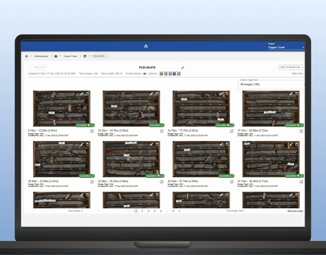
LithoLens™ supports development and mining teams by helping organise core imagery, extract geological features and improve consistency across high-volume drilling and relogging programs. It helps turn core photos into a more usable input for domain definition and geometallurgical interpretation.
LEARN MORE
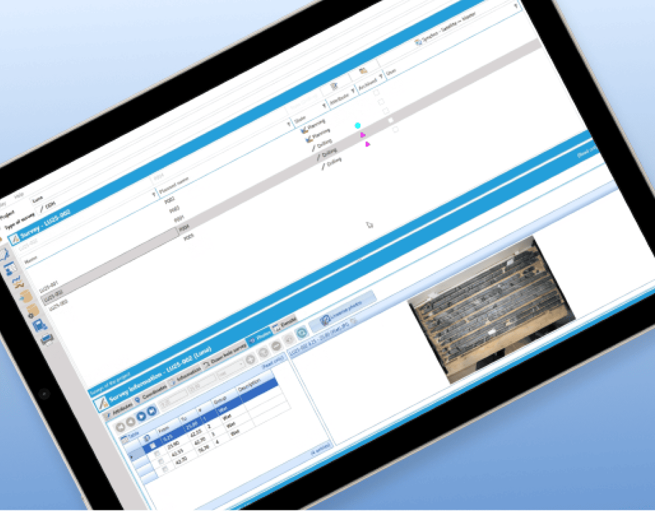
GeoticLog™ helps centralise drillhole data and streamline field-to-office workflows so geological information is easier to manage, access and use. It supports cleaner datasets for interpretation, planning and operational decision-making.
LEARN MOREPara sua conveniência e segurança, estabelecemos uma parceria com a PayJunction para concluir a transação do seu cartão de crédito. As informações do seu cartão de crédito serão utilizadas apenas para processar um pagamento único.
Se não tiver um número de fatura, não continue e ligue para:
Valores a receber +1 281-575-2290
Para sua conveniência e segurança, estabelecemos uma parceria com a Westpac, para concluir a transação do seu cartão de crédito. As informações do seu cartão de crédito serão utilizadas apenas para processar um pagamento único. A ALS irá gerir e respeitar as suas informações pessoais de acordo com a sua Política de Privacidade.
Pague com Visa, Mastercard ou American Express. A moeda é processada em dólares australianos (AUD). Será aplicada uma taxa adicional de cartão de crédito de 0,8 % (Visa/MC) ou 1,5 % (AMEX) a todas as transações (incluindo GST aplicável).
Esta facilidade de pagamento está disponível para todos os clientes (com base na Austrália) com um número de fatura válido. Se não tiver um número de fatura, não continue e ligue para:
Valores a receber +61 7 3212 5498
Selecione a entidade legal ALS a partir das opções abaixo. O nome da entidade ALS pode ser encontrado na sua fatura.