Our comprehensive hydrographic services in each of our 16 offices serve diverse needs. Our seasoned experts provide consultancy for system design and project management for single-site installations or network projects. With international experience in Papua New Guinea, New Zealand, and South America, we provide excellence and reliability in every endeavor.
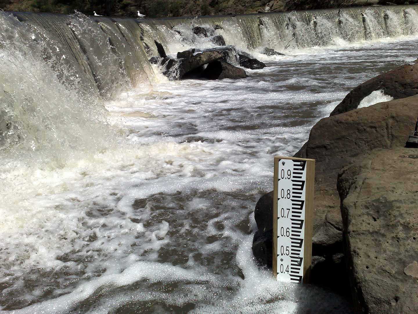
Hydrographic monitoring serves various crucial applications: predicting floods and facilitating road closures, assessing reservoir storage, integrating rainfall and weather data for catchment modeling, monitoring sewage flow, river flow, and water quality for harvesting, tracking borehole levels and sampling for groundwater and salinity, and monitoring H2S levels to safeguard infrastructure.
ALS provides comprehensive training for all our staff in hydrography, encompassing site selection, instrumentation, measurement techniques, site operation and maintenance, data assessment, and reporting. Safety training covers 4WD driving, risk identification, chainsaw safety, with GPS tracking and in-vehicle monitoring ensuring driver safety. Onsite, “Take 5” risk assessments prioritize hazard identification and mitigation.
Our data analysts help ensure data validity and accuracy through catchment balances, correlation with nearby sites, and historical analysis. Data quality indicators denote analyst confidence. Multiple software platforms are utilized for assessment, editing, and quality coding of data, helping ensure meticulous analysis and reliable insights for informed decision-making.
ALS Hydrographics' Systems Group innovatively supports IT infrastructure and maintains data viewing platforms such as Hydstra, VDV, and Eagle IO. Telstra m2m control centre handles over 2000 SIM cards for telemetering. ALS’ hydrographic instrument team designs, orders, builds, tests, and certifies monitoring systems, helping ensure accuracy and reliability, supporting the capabilities of our field teams and enabling the confidence of our clients.
Our duties involve verifying water flow volume and quality, necessitating 4WD travel to sites. We wear waterproof waders to wade across rivers or more sophisticated means, and take measurements or calibrate transducers, performing maintenance despite adverse weather conditions. Commitment to our tasks helps ensure continuous operations and reliable data collection for effective environmental monitoring.
ALS’ Hydrographics business conducts remote monitoring of weather, dust, noise, and sewage with exceptional accuracy and reliability. Utilizing advanced technology and rigorous protocols, we offer precise data collection, analysis, and reporting, supporting informed decision-making and environmental management strategies with confidence and precision.
Drawing upon a robust background in electronics, ALS’ hydrographic instrument team excels in creating schematics and integrating diverse sensors, data loggers, and communication modules. Professionally mounted within secure housings, these components ensure reliable, efficient, and accurate monitoring of environmental parameters, reflecting a commitment to excellence in data collection.
ALS’ hydrographic systems team maintains a balance between proven and cutting-edge technologies to help ensure reliable system operation. With a strong IT background and expertise in Python and/or Perl coding, our experienced staff integrate and optimize system components, enabling seamless operation and continual innovation in environmental monitoring solutions.