















Add your Description here.

START NOW

Thank you for your interest in D3! To activate your Free User Trial, please complete the form. We will reply within 24hrs.

LithoLens™

Core image analysis

LithoLens™ is a core analysis platform that extracts geotechnical and geological information directly from core photography, including the large archives of historical images that most exploration and mining companies have never fully analysed. 


Litholens core-scanning software interface displaying labeled drill core imagery

LithoLens™ is particularly powerful when relogging is not an option, LithoLens™ semi-automates the logging workflow, supporting lithology and mineralogy predictions, preserving the value of hard-won historical core, and underpinning a more consistent and reliable geological model for better-informed decisions. 

For teams running high-volume drilling programs, LithoLens™ keeps pace with ongoing campaigns, continuously extracting geological and geotechnical insight from current core photography, so interpretation stays consistent and decisions are always grounded in the latest data. More insight, from data you already have. 

Organise, clean and visualise your core photos in one place

LithoLens Gallery

LithoLens Gallery is the core photo management module within LithoLens. It organises, cleans and standardises drill core imagery across a project into a single accessible library, replacing the inconsistently named and poorly structured photo sets that slow geological teams down. 

Photos are automatically processed to remove non-core elements such as trays and blocks, then linearised for strip-log viewing. 

Strip-log visualiser 

The built-in strip-log visualiser brings your datasets together in one place. Upload geological logs and assays alongside linearised core photos to compare logging data and results directly against the actual imagery. This enables:

  • Remote collaboration and technical review
  • Faster geological interpretation
  • Reduced need to physically retrieve core trays 

The result is a cleaner workflow, a structured visual record of every drill hole, and outputs that feed directly into downstream analysis. 

Quantify geological and geotechnical features directly from core images

LithoLens Extract

LithoLens Extract uses machine vision to consistently identify and quantify geological and geotechnical features from drill core photography. It produces structured numeric data across a range of parameters, including: 

  • Colour 
  • Geotechnical groupings and RQD 
  • Lithology and alteration 
  • Veining and mineralisation indicators 
  • Texture 

The result is a faster path from core photograph to geological data, reducing the backlog that builds on high-volume drilling programs and keeping interpretation moving. Outputs complement traditional geological logging by providing additional, objective data to support and enrich your team's analysis. 

Transform multivariate downhole data into data-driven geological domains 

Drill Data Domainer (D3)

Drill Data Domainer (D3) applies unsupervised machine learning to numeric downhole datasets to automatically generate statistically robust geoscientific domains along the drill trace. Input data can include assays, magnetic susceptibility, LithoLens Extract outputs, or any other numeric downhole data. Domains can be configured to reflect rock types, alteration, genetic groupings or geometallurgical character. 

Input variables can be selected and tested to meet site-specific objectives, giving teams control over how domains are defined without the subjectivity of manual boundary drawing. The result is data-driven classifications that better reflect the actual controls on grade and mineralisation, with outputs ready for 3D modelling. 

The LithoLens advantage

LithoLens delivers consistent, geologically meaningful outputs that integrate directly into your existing workflows.

Built for geology. Backed by geoscientists. Connected to your data. 
  • Purpose-built for geology. Designed specifically for mining and exploration core analysis, not a generic image recognition tool adapted for geology. Outputs are consistent and feed directly into more advanced machine learning workflows. 
  • Geoscientist-guided AI. AI speed and consistency combined with geoscientist-guided workflows, so outputs are geologically meaningful rather than algorithmically generated without context. 
  • Reduce relogging cost: When relogging is not an option, LithoLens™ semi-automates the logging workflow, supporting lithology and mineralogy predictions, preserving the value of hard-won historical core, and underpinning a more consistent and reliable geological model for better-informed decisions. 
  • Fast, consistent extraction to support on-field decisions. For teams running high-volume drilling programs, LithoLens™ keeps pace with ongoing campaigns, continuously extracting geological and geotechnical insight from current core photography, so interpretation stays consistent and decisions are always grounded in the latest data. More insight, from data you already have. 

Related resources

Machine learning for mineral exploration and modelling

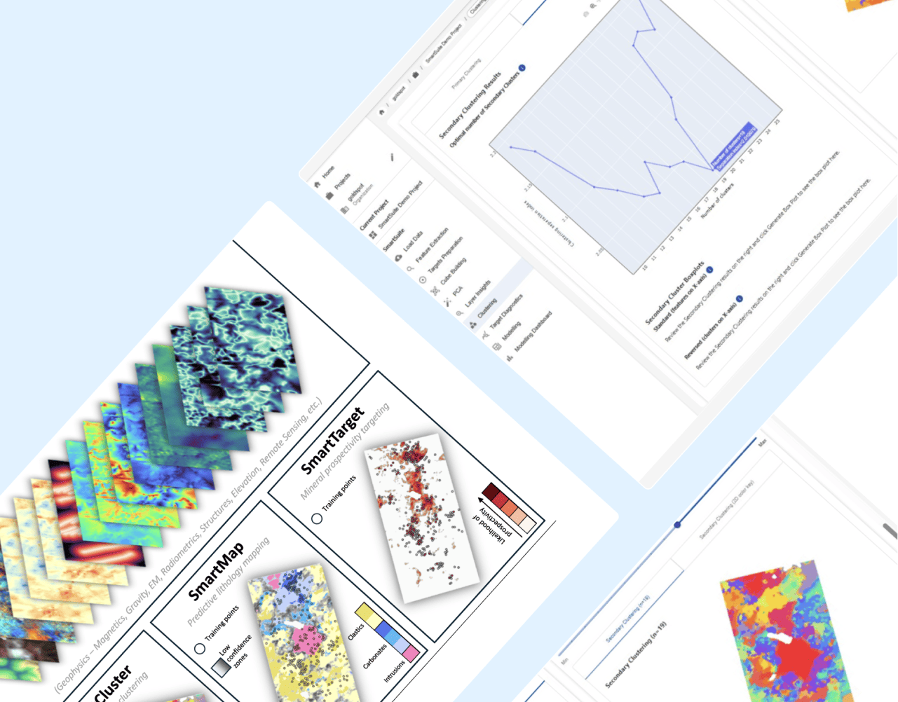
SmartSuite™ powers the machine learning workflows at the heart of early-stage exploration targeting. SmartCluster™ helps identify natural patterns in complex datasets, while SmartTarget™ integrates available data layers to produce prospectivity maps that support repeatable, data-driven target generation.

LEARN MORE

Geological logging and data management

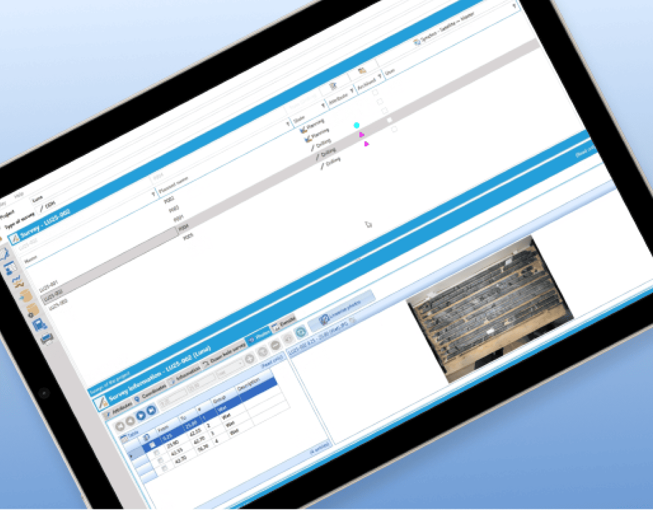
GeoticLog™ helps centralise drillhole data and streamline field-to-office workflows so geological information is easier to manage, access and use. It supports cleaner datasets for interpretation, planning and operational decision-making. 

LEARN MORE