











Add your Description here.

START NOW

Thank you for your interest in D3! To activate your Free User Trial, please complete the form. We will reply within 24hrs.

SmartSuite

The machine learning platform built to extract more from your exploration data

SmartSuite is an advanced machine learning platform built for mineral exploration that integrates complex geological, geochemical, geophysical, and remote sensing datasets into standardized, reproducible workflows. Designed to help geoscientists extract more value from their data, SmartSuite enables the generation of data-driven products that support interpretation, reduce uncertainty, and accelerate exploration decision-making across a wide range of commodities and geological settings.  

 
SmartSuite software dashboard showing mineral prospectivity and lithology maps

Identify Patterns Earlier, Target Smarter

SmartCluster – Spatial Domain Clustering

SmartCluster is a product generated through an unsupervised machine learning workflow that identifies patterns and relationships within geoscience datasets that may be difficult to recognize through manual analysis alone.

By integrating geological, geochemical, geophysical and remote sensing data, SmartCluster groups areas with similar characteristics into spatial domains, helping exploration teams identify geological trends, alteration systems and mineralisation-related patterns.

Because no training data is required, SmartCluster is particularly valuable in early-stage exploration programs where geological understanding may be limited or incomplete.

Extend your geological observations across the entire project area 

SmartCluster – Spatial Domain Clustering
SmartMap is a supervised machine learning product that uses geological observations, drillhole information, and integrated geoscience datasets to predict the spatial distribution of lithological units and geological domains across a project area.   

By extending information beyond areas of direct observation, SmartMap generates data-driven geological maps that support interpretation, improve understanding of subsurface geology and help guide exploration and resource development decisions. These outputs complement traditional geological modelling by providing a consistent and reproducible framework for integrating diverse datasets.   

Turn Integrated Geoscience Data into Predictive Geological Maps

SmartTarget– Mineral Prospectivity Targeting

SmartTarget is a supervised machine learning product that integrates geological, geochemical, geophysical, structural, and other spatial datasets to identify areas that exhibit characteristics similar to known mineralization.  

The resulting prospectivity maps highlight spatial patterns and relationships associated with mineral systems, providing exploration teams with a transparent, data-driven framework for evaluating and prioritizing areas for follow-up work.  

By standardizing the integration of diverse datasets, SmartTarget supports more consistent and reproducible targeting decisions while maintaining the critical role of geological expertise in target generation and ranking.   

The SmartSuite advantage

Geoscientist-guided. Modular. Reproducible.
  • Outputs that are geologically meaningful. Every SmartSuite workflow is guided by experienced geoscientists, ensuring results reflect geological understanding rather than patterns generated without context. 
  • Use what you need.  SmartSuite is modular by design. Use individual tools or run them as an integrated workflow depending on project needs, without being locked into a fixed process. 
  • Analysis that holds up to scrutiny. SmartSuite delivers repeatable, auditable analysis that stands up to technical review from boards, investors and independent reviewers.
  • Supported by the broader ALS network. SmartSuite is backed by the Geoanalytics consulting team and ALS laboratory expertise, helping teams combine analytical data, interpretation and modelling insights.

Related resources

Core image analysis

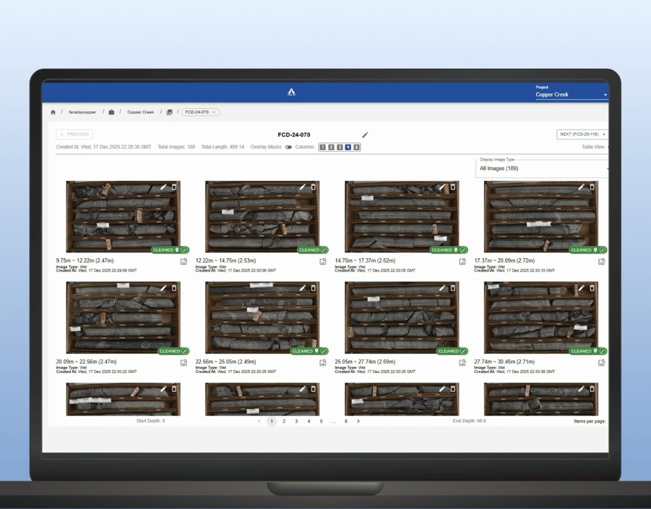
LithoLens™ supports development and mining teams by helping organise core imagery, extract geological features and improve consistency across high-volume drilling and relogging programs. It helps turn core photos into a more usable input for domain definition and geometallurgical interpretation. 

LEARN MORE

Geological logging and data management

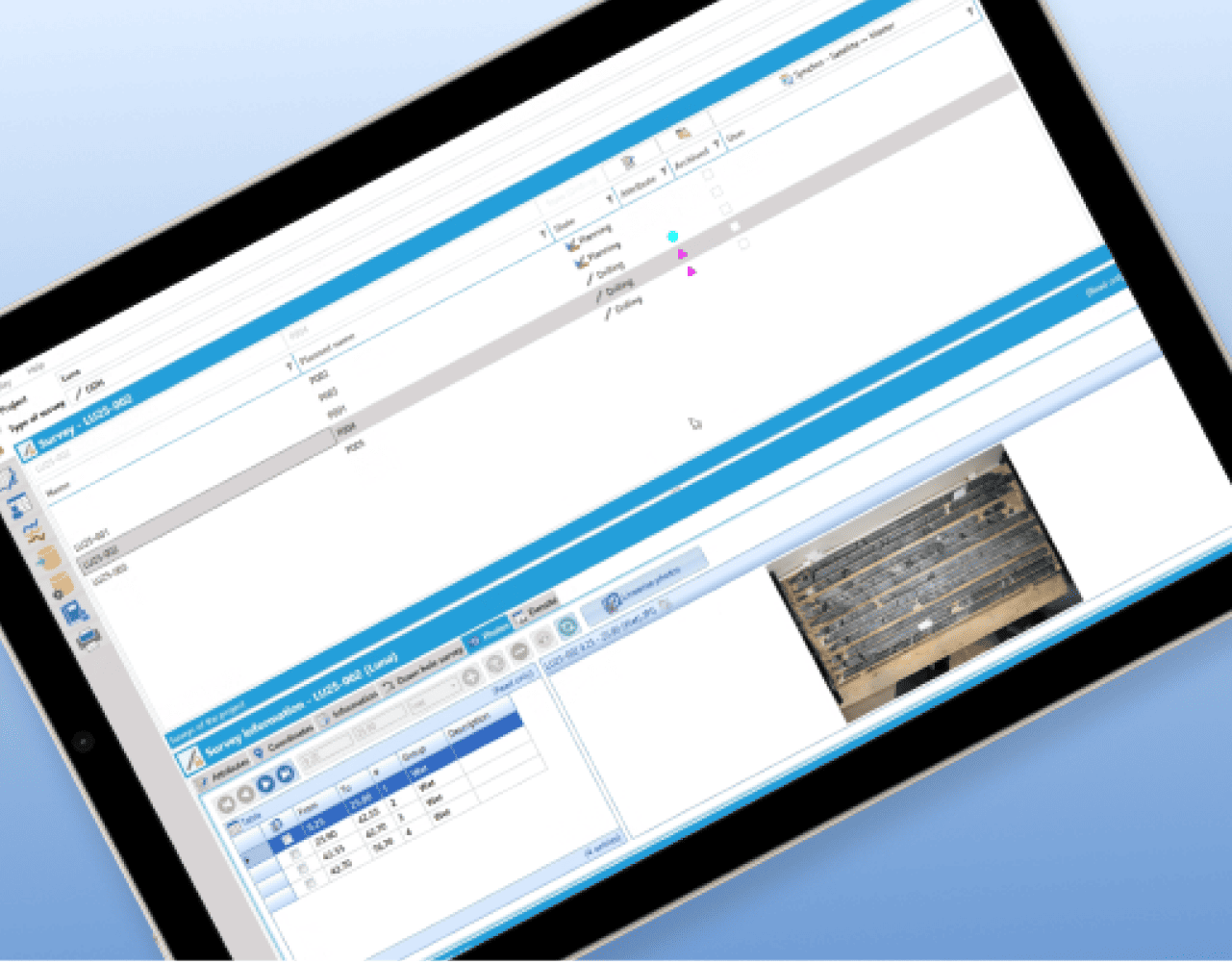
GeoticLog™ helps centralise drillhole data and streamline field-to-office workflows so geological information is easier to manage, access and use. It supports cleaner datasets for interpretation, planning and operational decision-making. 

LEARN MORE