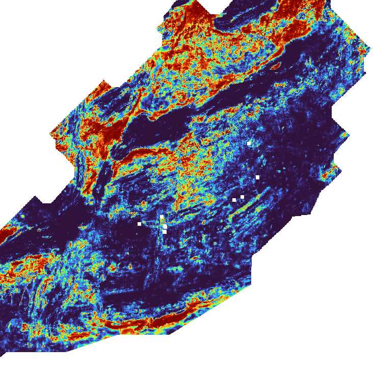











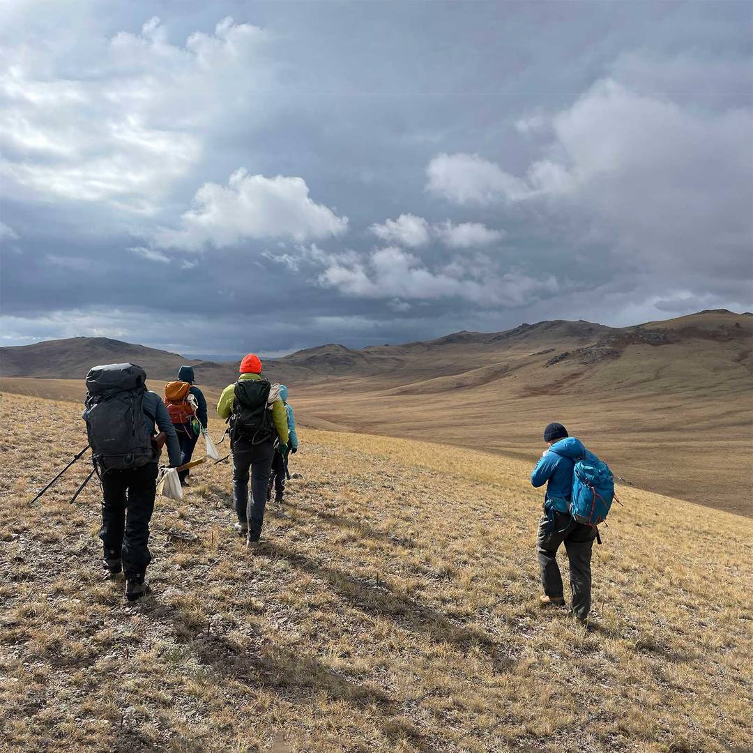






Early-stage exploration is for companies working across large, underexplored areas with limited existing data. ALS helps teams combine geochemical, geophysical and geological datasets with AI-driven workflows to identify high-potential zones, prioritise targets and make more confident decisions before committing field season budgets. This approach helps turn fragmented or low-density data into a clearer targeting picture that supports efficient exploration planning.
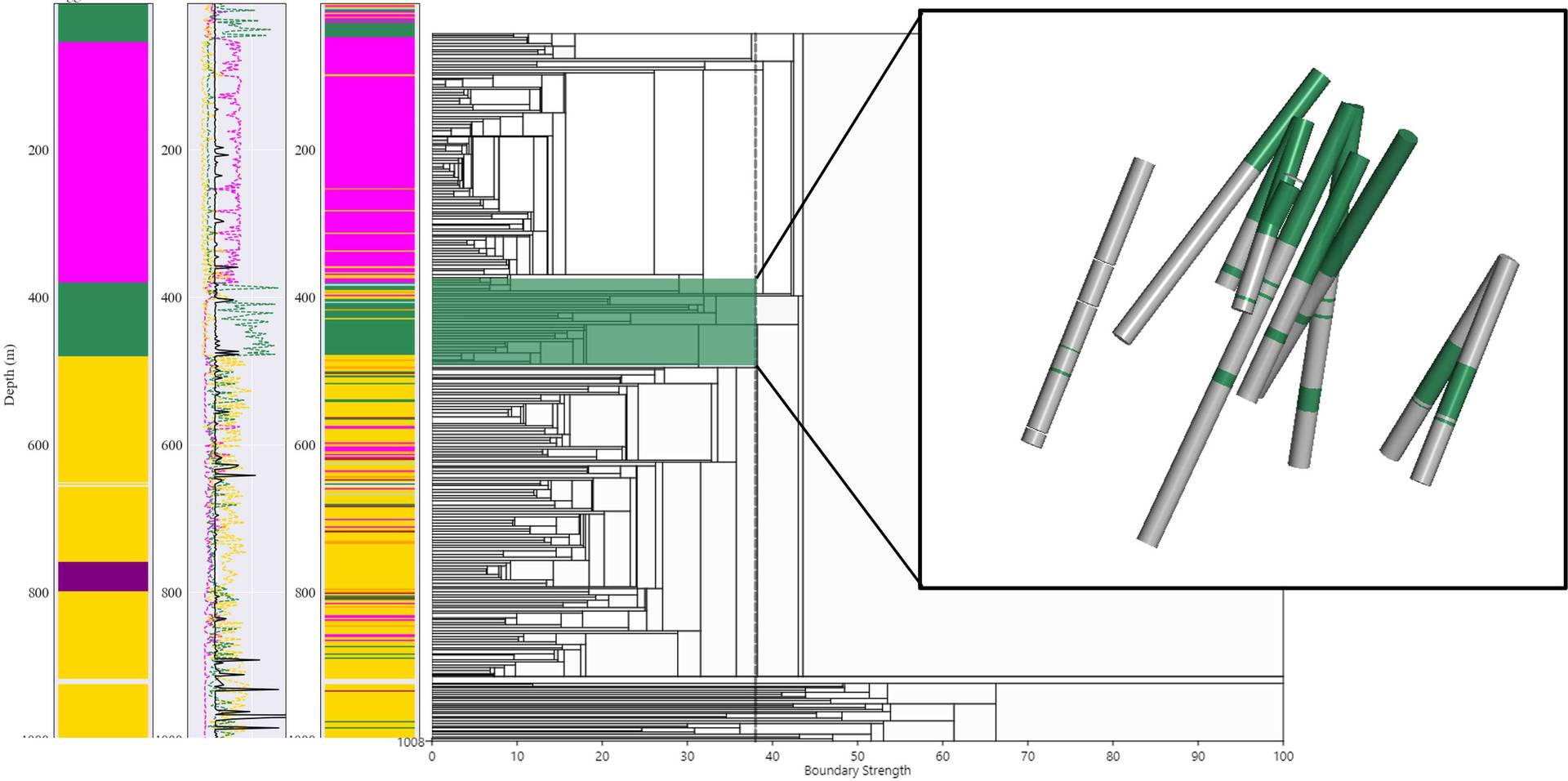
At early stage, Core Intelligence brings together any available drillhole data, including sparse historical records, with surface datasets to build the most complete possible picture of the subsurface before new drilling begins.
Where core photos exist, LithoLens™ can help extract lithological and alteration information to strengthen the targeting model and ensure existing data is not left out of the decision-making process.
The domains of a mineral deposit are made up of unique geological features (lithological, structural, petrophysical, or geotechnical), which are combined with a spatial component to create coherent blocks, which are then used throughout the mining value chain.
LEARN MORE
ALS Geoanalytics’s Artificial Intelligence technologies and workflows, guided by expert input, help rapidly and accurately interpret large volumes of data, allowing your expert geoscientists to spend their time thinking about geoscience.
LEARN MORE