

















Take the next step.

Request more information about our services and we will contact you within 24 hours.

START NOW

Thank you for your interest in D3! To activate your Free User Trial, please complete the form. We will reply within 24hrs.

Advanced-stage exploration

Building confidence through integrated exploration data

Advanced-stage exploration is for companies with significant drilling completed and datasets accumulated, but not yet fully integrated or interrogated. ALS helps teams consolidate drillhole, assay and geophysical data into more complete models, using machine learning and specialist interpretation to support resource definition, infill drilling and feasibility decisions with greater confidence.

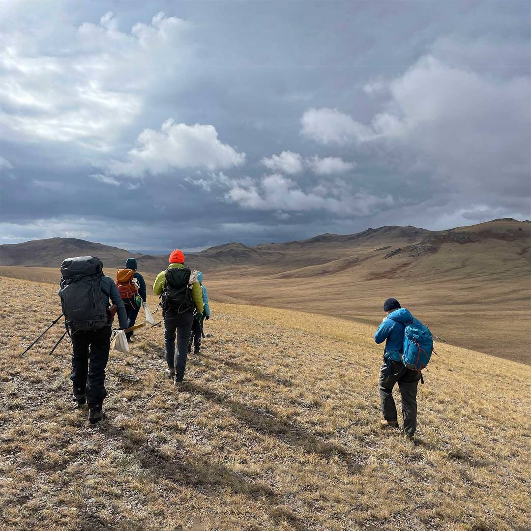
women taking pictures of rock samples by the river side

 3D Prospectivity Analysis

A data-driven approach to subsurface targeting and deposit modelling

A machine learning approach that consolidates drillhole data, geophysical layers and assay results into 3D prospectivity volumes, replacing simplified manual models with data-driven deposit geometry. Ideal for companies moving toward resource estimation that need a more rigorous and defensible picture of where mineralisation is most likely to occur at depth. 

  • Integrate drilling, assay and geophysical data into one model 

  • Generate 3D prospectivity insights for target refinement 

  • Support resource definition and infill drilling decisions 

  • Strengthen confidence in subsurface interpretation 

Specialist Consulting Services

  1. Geoscience integration & targeting 

    Bring together geological, geochemical, geophysical and drilling datasets into a more complete targeting framework. This helps teams identify relationships across datasets and supports more confident target prioritisation. 

  2. Geophysical inversions

    Transform geophysical data into more interpretable subsurface models that help define geological structures, refine targeting and improve confidence in deposit geometry.  

  3. Lithogeochemical & hyperspectral solutions

    Use lithogeochemical and hyperspectral datasets to improve geological interpretation, identify alteration patterns and support more detailed understanding of mineralised systems. 

  4. 3D Modelling

    Build integrated 3D geological models that combine multiple datasets into a more coherent view of the subsurface, supporting interpretation, targeting and resource work.

  5. Standardisation of logging data

    Improve the quality and consistency of legacy and current logging datasets so they are easier to compare, integrate and use in downstream modelling. 

  6. Downhole data domaining

    Define geological or ore domains along the drill trace using structured downhole datasets, helping improve interpretation and strengthen model inputs.

  7. Semi-automated core logging

    Support logging workflows with AI-assisted tools that improve consistency across high-volume drilling programs and help teams extract more usable geological information from core.

  8. Core scanning data integration

    Combine core scanning outputs with geological logs, assays and other drilling datasets to improve interpretation and make better use of data collected during drilling.

Core Intelligence for Advanced-stage Exploration

At advanced stage, Core Intelligence brings together automated logging, core scanning outputs and assay results into a single integrated dataset. This helps ensure the information collected during drilling feeds directly into geological interpretation and 3D modelling, rather than sitting in disconnected systems. The result is a more complete and usable picture of the subsurface to support resource definition and target refinement.

  • Connect drilling data into one integrated interpretation workflow 
  • Improve use of core, assay and scanning outputs 
  • Strengthen geological models for resource and feasibility work 
 
A long industrial core logging table featuring blue and orange metal framing slanted roller racks with core sample trays

Related resources

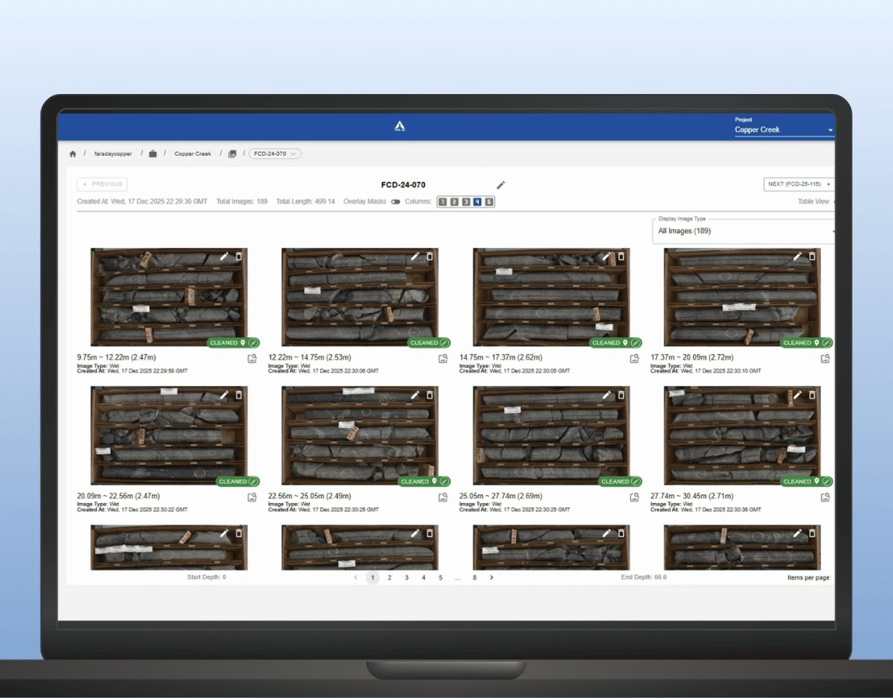
Core-logging software showing labeled drill core photos with depth intervals for hole

Core image analysis

LithoLens™ supports development and mining teams by helping organise core imagery, extract geological features and improve consistency across high-volume drilling and relogging programs. It helps turn core photos into a more usable input for domain definition and geometallurgical interpretation. 

LEARN MORE
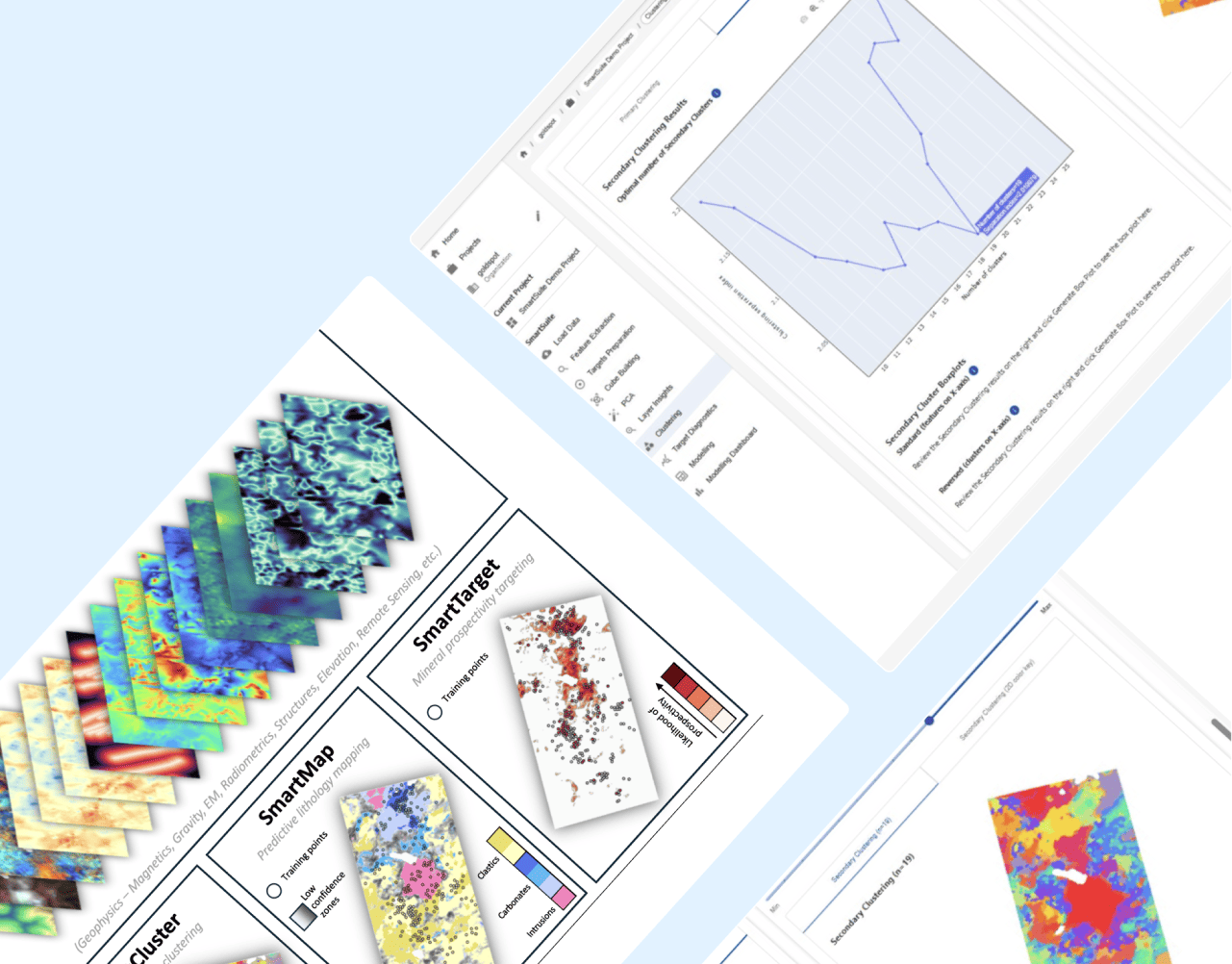
SmartSuite dashboard with mineral prospectivity map lithology map and clustering charts

Machine learning for mineral exploration and modelling

SmartSuite™ powers the machine learning workflows at the heart of early-stage exploration targeting. SmartCluster™ helps identify natural patterns in complex datasets, while SmartTarget™ integrates available data layers to produce prospectivity maps that support repeatable, data-driven target generation.

LEARN MORE
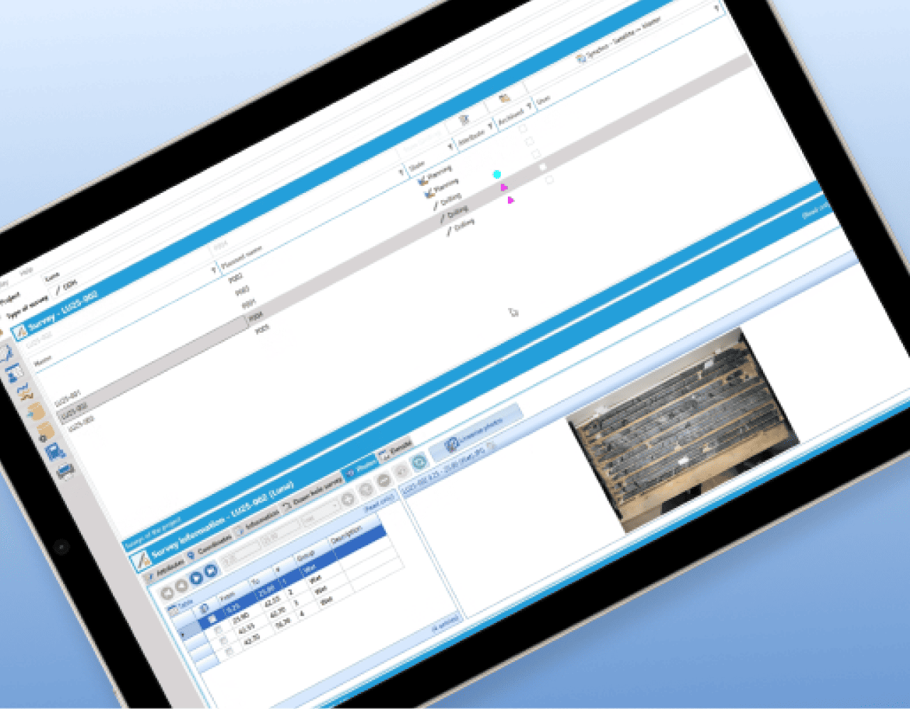
Geotic Drillhole database interface with survey list and core tray photo

Geological logging and data management

GeoticLog™ helps centralise drillhole data and streamline field-to-office workflows so geological information is easier to manage, access and use. It supports cleaner datasets for interpretation, planning and operational decision-making. 

LEARN MORE