

















Take the next step.

Request more information about our services and we will contact you within 24 hours.

Request a quote

GeoticLog™

One platform to log, manage and connect your drillhole data

Geotic centralises drillhole data and connects field teams to the office in real time. It replaces fragmented spreadsheets and disconnected systems with a single, configurable platform that keeps data consistent, accessible and ready for interpretation from the moment it is collected.

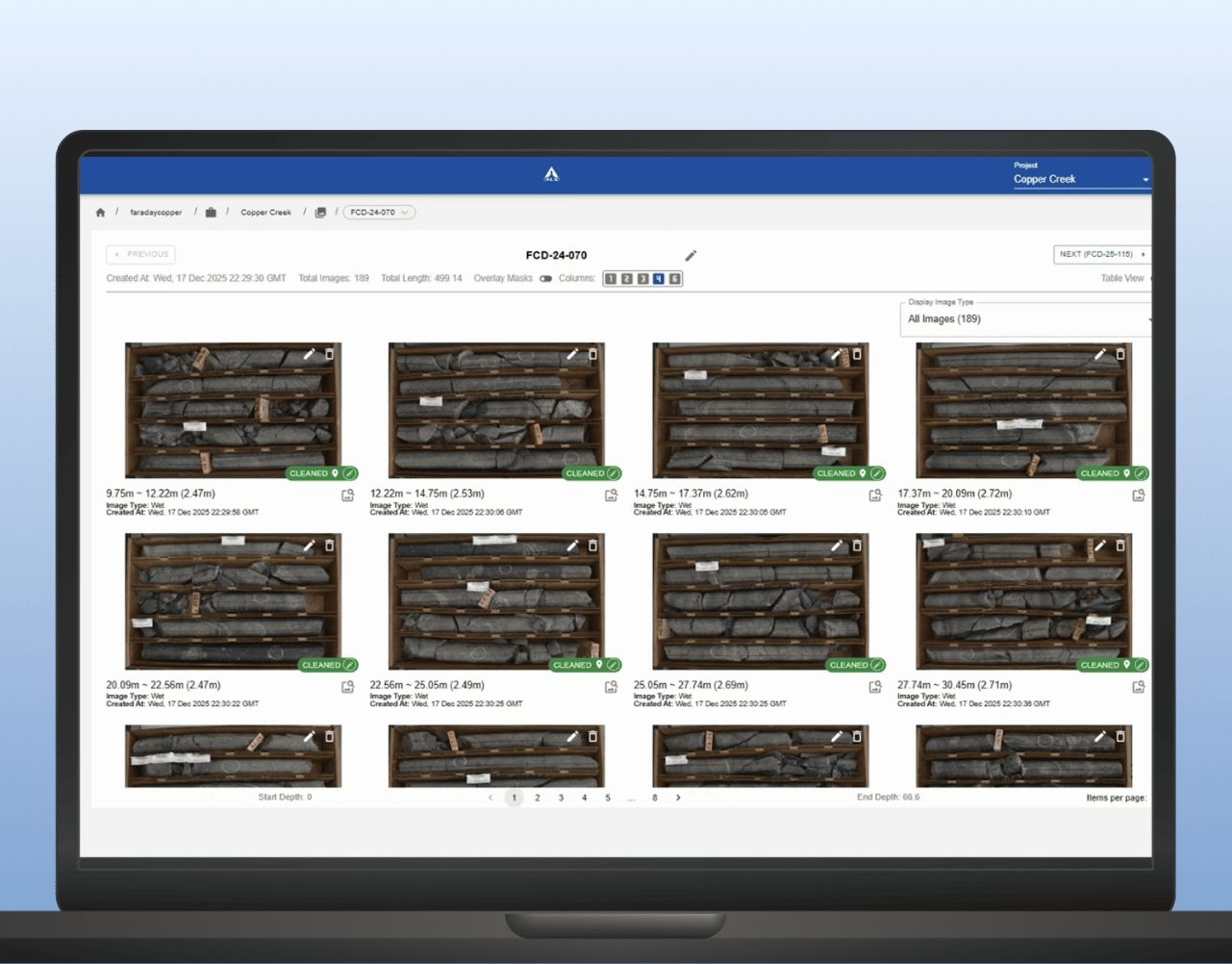
Drillhole database interface with survey list and core tray photo

Log consistently. Visualise quickly.  

Geotic Log is a configurable, field-ready platform for capturing and managing geological data across active drilling programs. Geologists log consistently to a standardised format, visualise results quickly and export data for interpretation and reporting without the manual cleanup that typically sits between field collection and office use.

From field to laboratory without the paperwork

E-Submit streamlines the sample submission process by connecting field sampling directly to the ALS laboratory network. It eliminates paper-based dispatch forms, reduces transcription errors and gives teams real-time visibility over sample progress from submission through to results. 

E-Submit is also lab agnostic. Bring in certificates from other laboratories using the built-in certificate import feature, keeping all your results in one place regardless of where samples were analysed. 

The Geotic advantage

Built for geology, Ready for your project 
  • Built by geoscientists, for geoscientists. Geotic is designed specifically for the way geological teams work, not a generic data management tool adapted for mining. 
  • Directly connected to the ALS laboratory network. E-Submit creates a seamless flow from field sampling to lab results to interpretation, eliminating the manual steps that slow data delivery. 
  • Configurable to your project. Geotic adapts to project-specific requirements without custom development, so teams can get up and running without lengthy setup or technical overhead. 
  • Closes the gap between field and office. Geotic reduces the time and cost that exploration programs lose between data collection in the field and decision-making in the office. 

This rendering failed. Please review the data contents.

Related resources

Core-logging software showing labeled drill core photos with depth intervals for hole

Core image analysis

LithoLens™ supports development and mining teams by helping organise core imagery, extract geological features and improve consistency across high-volume drilling and relogging programs. It helps turn core photos into a more usable input for domain definition and geometallurgical interpretation. 

LEARN MORE
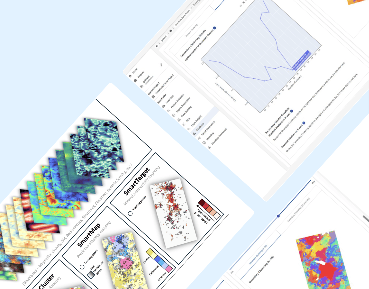
SmartSuite dashboard with mineral prospectivity map lithology map and clustering charts

Machine learning for mineral exploration and modelling

SmartSuite™ powers the machine learning workflows at the heart of early-stage exploration targeting. SmartCluster™ helps identify natural patterns in complex datasets, while SmartTarget™ integrates available data layers to produce prospectivity maps that support repeatable, data-driven target generation.

LEARN MORE